vector maps — the browser map editor for architects and planners. Pick a place. Toggle layers. Export the plan.
The browser map editor for architects and planners. Print-ready site plans from OpenStreetMap, official cadastre and AI building data — free up to 2 km².
You're on the list — we'll email you once when we open.
- 01
Select extent
Draw any area, anywhere on Earth
- 02
Choose data
Buildings, streets, water, contours, parcels
- 03
Export plan
SVG · PDF · DXF · GeoJSON, true to scale
This is the whole workflow.
No GIS degree, no plugin, no cleanup afterwards. Watch the editor do a site plan in seconds.
- Buildings
- Streets
- Water
- Green & trees
- Contour lines
A site plan shouldn't start with a data hunt.
Ask any architect what getting base map data feels like. Then watch a day disappear before the first line is drawn.
The hunt
Geoportals, OSM extracts, city PDFs, WMS servers — every municipality hides its data somewhere else, in another format, behind another login.
One search box. Every source already connected.
The cleanup
Downloads arrive as one flat mess of lines: no layers, wrong clutter, half the buildings missing. Hours of deleting before you can start.
Layers arrive separated, styled, and already clean.
The scale
Web Mercator here, UTM there, unknown units everywhere. You measure a known street twice and hope the plan is not 3% off.
Metric, true to scale, with an architectural scale bar.
Every layer a plan needs. Nothing it doesn't.
Compose your drawing before you export it — not afterwards in CAD. Toggle a layer to see the plan change.
Live layer preview — schematic
ALKIS parcels & parcel numbers — schematic
Cadastral site plans, straight from ALKIS.
For German sites, pull official cadastre into your drawing: parcel geometry, parcel numbers and official building footprints — the base every Lageplan starts from.
- Flurstücke with parcel-number labels
- Official building footprints (ALKIS), not OSM guesses
- Exports keep cadastre on its own layers
Official cadastre currently covers Germany. Worldwide: OSM + Overture.
Print-ready. CAD-ready. Scale-true.
- SVGEditable vectors for Illustrator & Affinity
- PDFTrue to scale, architectural scale bar included
- DXFLayer-separated for AutoCAD, Rhino, ArchiCAD — 2D & 3D
- GeoJSONRaw geometry for QGIS and your own pipeline
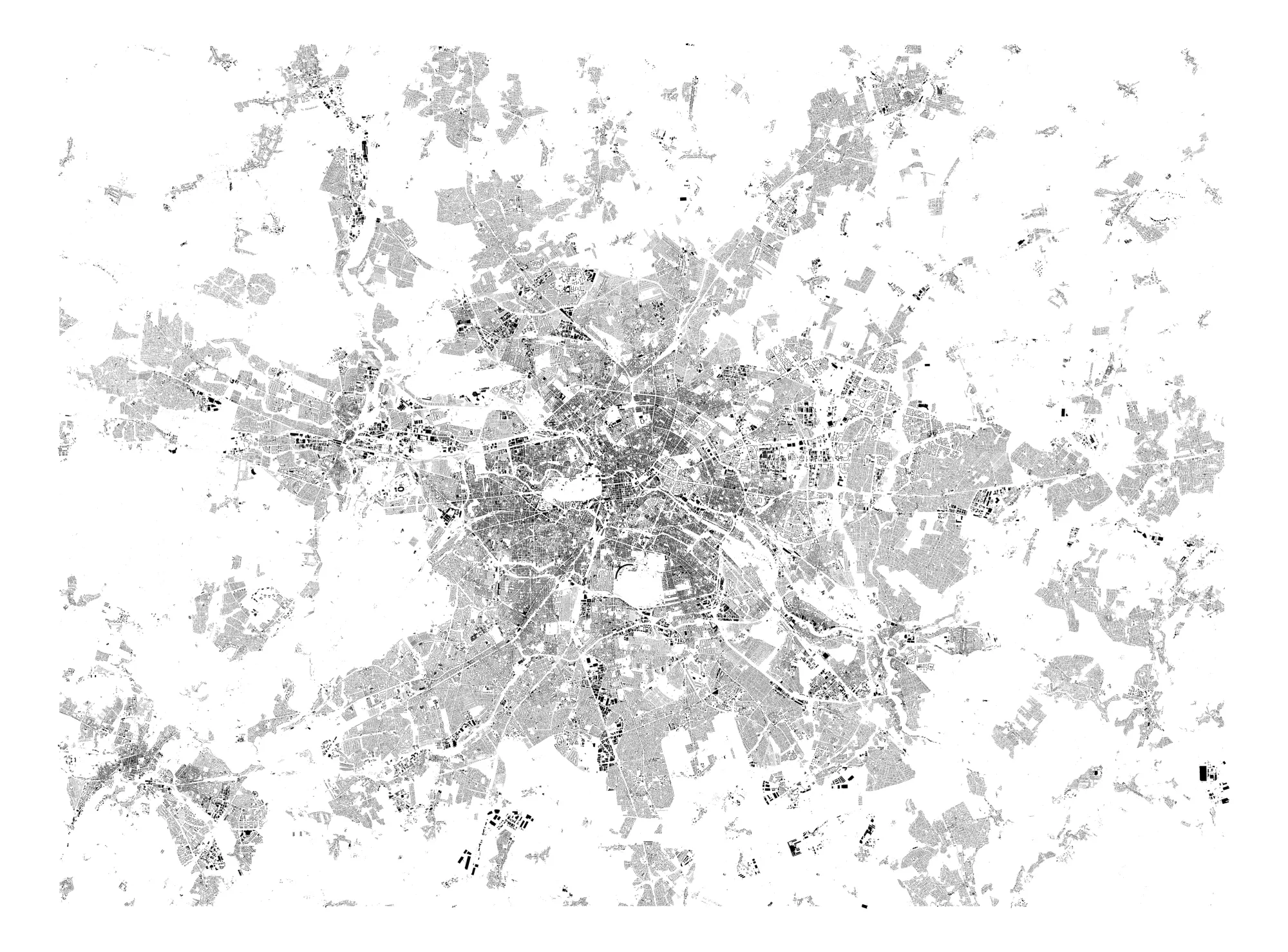
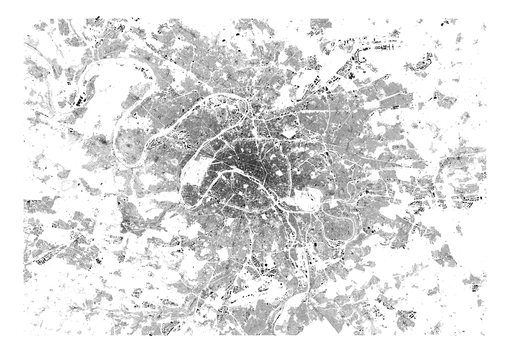
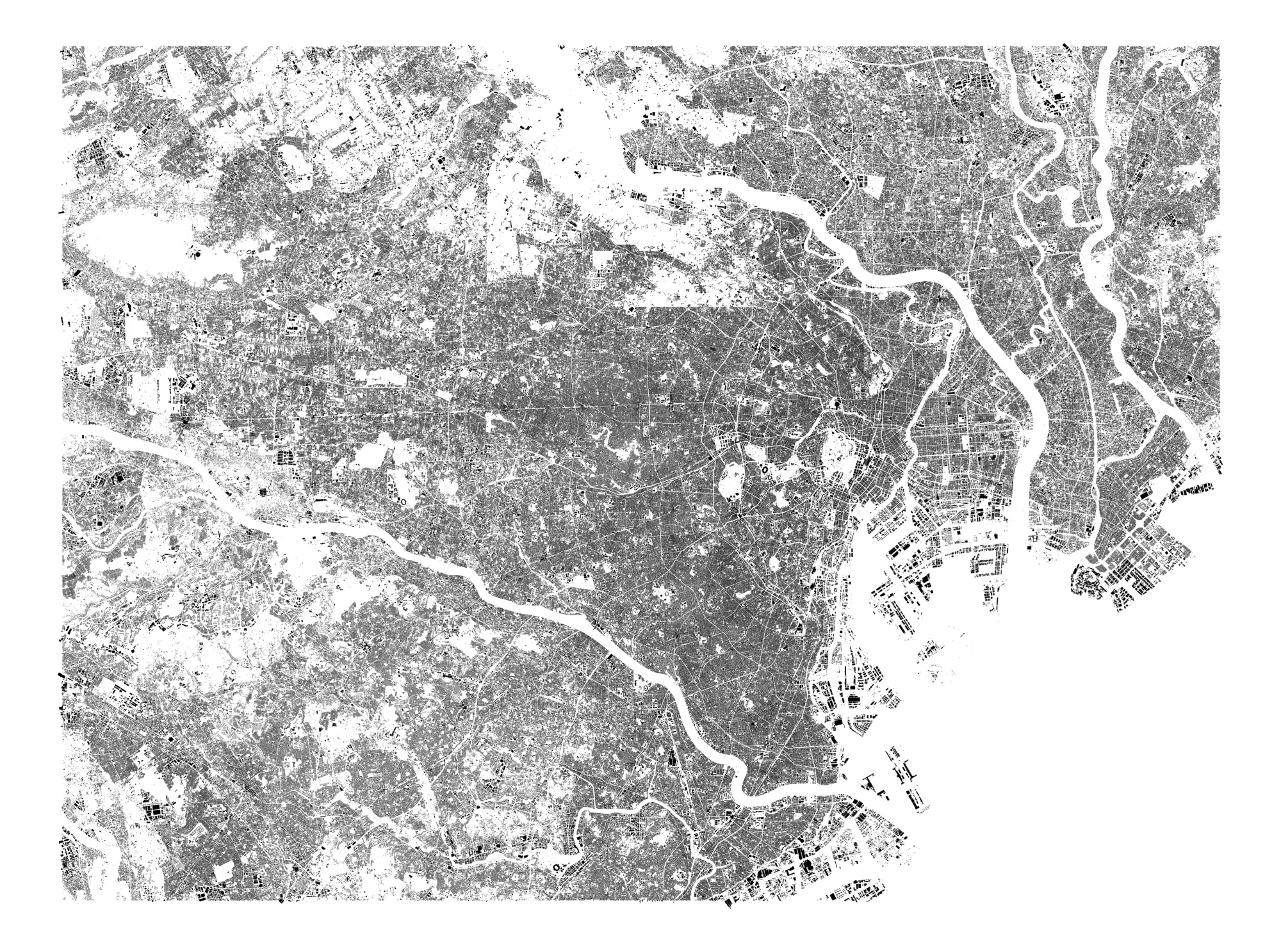
Small editor. Complete toolset.
Any extent
Draw a rectangle anywhere on Earth — from a single parcel to a whole district.
Layer editor
Toggle, restyle and reorder every layer in the browser — before you export, not after.
Three data sources
OSM, Overture AI footprints and official German cadastre — merged into one clean drawing.
Terrain & contours
Elevation contours from DEM data, labelled and export-ready.
Scale-true output
Metric, true to scale, architectural scale bar included in every PDF, SVG and DXF.
2D & 3D
Flat plans or 3D DXF with building volumes for massing and context models.
Built for everyone who works with the city.
If your work starts with a place, your plan starts here — whatever you call the drawing at the end.
Architects
Figure-ground plans for competitions, cadastral base for the Lageplan, context for every phase.
Schwarzplan · Lageplan · DXF context
Urban planners
Analysis-ready layers — buildings, streets, green, boundaries — separated and restyleable.
Analysis maps · boundary plans
Landscape architects
Terrain contours, water and vegetation as clean vectors for site and open-space design.
Contour plans · site surveys
Real estate & studios
Location plans for exposés and pitches — elegant, true to scale, ready for the layout.
Exposé maps · poster plans
Pricing you can actually see.
Pay per export, no subscription. Free up to 2 km² — twice the free area of the largest alternative. No surprises at checkout, no hidden “small fee”.
- Up to 2 km²per export, foreverFree
- Up to 10 km²€20
- Up to 25 km²€29
- Up to 50 km²€39
- Up to 100 km²€49
- Up to 500 km²€69
Everything you might ask.
When does vector maps launch?
We are in a private waitlist phase. Waitlist members get access first and their first exports free — one email when we open, nothing else.
What exactly is free?
Every export up to 2 km² is free — per export, forever, no trial period. Larger areas are priced per export, starting at €20.
Which formats can I export?
SVG for Illustrator and Affinity, true-to-scale PDF with an architectural scale bar, layer-separated DXF (2D and 3D) for AutoCAD, Rhino and ArchiCAD, and GeoJSON for QGIS or your own pipeline.
Where does the data come from?
OpenStreetMap and Overture Maps (AI building footprints) worldwide, plus official German cadastre (ALKIS) with parcels, parcel numbers and official building footprints. Elevation contours come from DEM terrain data.
Can I use it for a Lageplan?
For German sites you can pull ALKIS parcels and official footprints as the base of your Lageplan. For legally binding submissions, requirements vary by federal state — the cadastral geometry gives you the correct starting point.
Is there a subscription?
No. You pay per export, only when an area is larger than 2 km². No account tiers, no monthly fee.
Be first on the map.
We're opening soon. Join the waitlist and get your first exports free — up to 2 km², any place on Earth.
You're on the list — we'll email you once when we open.
One email when we launch. Nothing else.